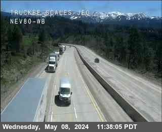
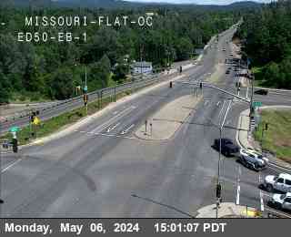
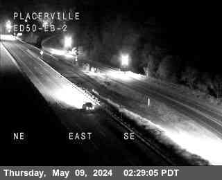
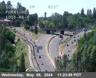
Lake Tahoe Area Traffic & Road Conditions
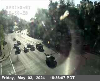
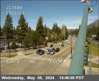
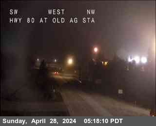
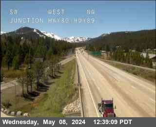
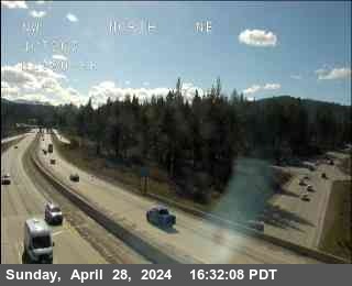
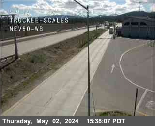
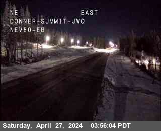
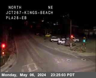
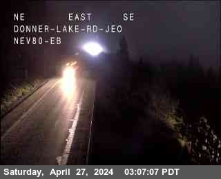
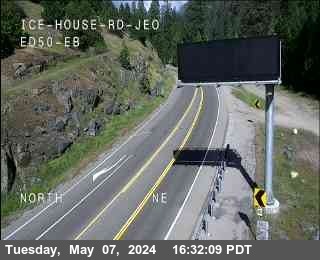
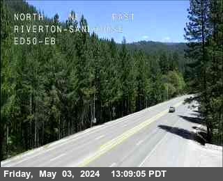
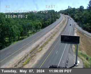
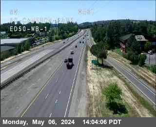
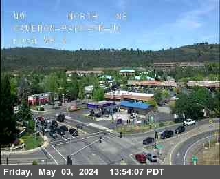
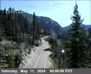
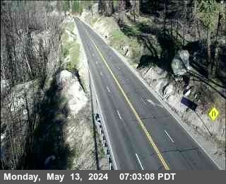
CalTrans Traffic Cameras
Data provided by: Caltrans Report broken WebCams
CHP Traffic Incidents (19)
| Route/Area | Incident |
|---|---|
Sacramento | Traffic Collision Ambulance EnrouteCHP ID: 240506SA0408 just East of - Woodland in District: 3 I-80 West at Enterprise Blvd |
Sacramento | Traffic Collision No injuryCHP ID: 240506SA0406 Eastbound just West of - Woodland in District: 3 I-80 East at Jwo W Capitol |
Sacramento | Traffic Collision Ambulance EnrouteCHP ID: 240506SA0261 Eastbound 80 just West of CAUSEWAY *180 * - Woodland in District: 3 I-80 East at Chiles Road |
Sacramento | Traffic HazardCHP ID: 240506SA0414 just South of - North Sac in District: 3 I-80 North at El Camino Ave |
Chico | Traffic Collision - Unknown injuryCHP ID: 240506CH0062 UPPER FOREST RANCH AT 32 - Chico in District: 3 SR-32 |
Truckee | Traffic Collision Minor injuryCHP ID: 240506TK0005 Gold Run in District: 3 I-80 West at RAINBOW Road |
Sacramento | Traffic Collision Ambulance EnrouteCHP ID: 240506SA0338 Southbound 99 just North of 12TH - South Sac in District: 3 SR-99 South at SUTTERVILLE Road |
Chico | Traffic HazardCHP ID: 240506CH0059 Northbound 99 just South of - Chico in District: 3 SR-99 at Neal |
Sacramento | Assist with ConstructionCHP ID: 240506SA0184 THREE MILE SLOUGH BRDGS - South Sac in District: 3 SR-160 |
Sacramento | Traffic Collision No injuryCHP ID: 240506SA0396 ARCO GAS STATION - SA in District: 3 2225 16th St |
Sacramento | Hit and Run w/InjuriesCHP ID: 240506SA0354 North Sac in District: 3 5563 Hillsdale Blvd |
Sacramento | Traffic HazardCHP ID: 240506SA0418 South Sac in District: 3 7528 Delta Pointe Way |
Chico | Assist CalTrans with MaintenanceCHP ID: 240506CH0019 SR20 MILE POST MARKER 25 - Williams in District: 3 SR-20 East |
Truckee | Closure of a RoadCHP ID: 240506TK0001 ** CLOSURES 5/6 ** - South Lake in District: 3 2063 Hopi Ave |
Truckee | Assist CalTrans with MaintenanceCHP ID: 240506TK0013 CISCO TO KINGVALE - Truckee in District: 3 51121 Donner Pass Rd |
Sacramento | Assist CalTrans with MaintenanceCHP ID: 240506SA0195 Auburn CHP Office - Auburn in District: 3 9440 Indian Hill Rd |
Truckee | Assist CalTrans with MaintenanceCHP ID: 240506TK0004 TRUCKEE CAL TRANS NORTH - TK in District: 3 10152 E Keiser Ave |
Sacramento | Assist CalTrans with MaintenanceCHP ID: 240506SA0139 Auburn CHP Office - Auburn in District: 3 9440 Indian Hill Rd |
Chico | Assist CalTrans with MaintenanceCHP ID: 240506CH0011 CAL TRANS LINDA YARD - Yuba Sutter in District: 3 1001 N Beale Rd |
CalTrans Road Conditions
Lake Tahoe/Donner Pass Weather
42
falling
Today Sunny May 6, 202410 to 16 mph WSW
25
rising
Tonight Mostly Cloudy May 6, 20248 to 16 mph WSW
48
falling
Tuesday Sunny May 7, 20248 mph W
26
Tuesday Night Mostly Clear May 7, 20248 to 14 mph NE
48
Wednesday Mostly Sunny May 8, 202414 to 18 mph ENE
31
Wednesday Night Clear May 8, 202418 to 24 mph ENE
52
Thursday Sunny May 9, 202416 to 21 mph ENE
35
Thursday Night Mostly Clear May 9, 202412 to 17 mph ENE
58
Friday Sunny May 10, 202413 mph ENE
37
Friday Night Mostly Clear May 10, 20248 to 13 mph ENE
62
Saturday Sunny May 11, 20248 to 12 mph NE
39
Saturday Night Mostly Clear May 11, 20246 to 12 mph NNW
66
Sunday Sunny May 12, 20246 to 13 mph NW
42
Sunday Night Mostly Clear May 12, 20247 to 13 mph NW
CalTrans Message Signs for - (12) - See All
Real-time highway message signs with travel times, travel, wind, fog and chain controls alerts and accident conditions.
CalTrans Lane & Road Closures on Highway - How does freeway lane numbering work?
East / West
Active
In Tahoe City Lane #1 will be closed multi-day (long term) for utility work along East / westbound Highway 28 at Mackinaw Rd from May 5 at 7:01PM to May 10 at 12:01PM.
From: Mackinaw Rd to Mackinaw Rd in Tahoe City
East / West
Active
In Tahoe City Lane #1 will be closed multi-day (long term) for utility work along East / westbound Highway 28 at County Road W & Jackpine St from May 5 at 7:01PM to May 10 at 12:01PM.
From: County Road W & Jackpine St to Rocky Ridge Rd in Tahoe City
West
Active
In Truckee Lanes #1, #2, the left shoulder, and the right shoulder will be closed for electrical work along Westbound I-80 at Beg Chain Off Area from 6:01AM to 3:59PM.
From: Beg Chain Off Area to Truckee River (Bridge 12) in Truckee
East
Active
In Placerville Lane #2, and the right shoulder will be closed for tree work along Eastbound US-50 at 5 Mi Rd / Paul Bunyan from 6:01AM to 4:30PM.
From: 5 Mi Rd / Paul Bunyan to 5 Mi Rd / Paul Bunyan in Placerville
West
Active
In Soda Springs All lanes will be closed for accident investigation along Westbound I-80 at Troy from 6:45AM to 3:30PM.
From: Troy to Hampshire Rocks in Soda Springs
West
Active
In Norden Lane #2, and the right shoulder will be closed for grinding and paving along Westbound I-80 at Castle Peak from 6:59AM to 4:59PM.
From: Castle Peak to South Yuba River in Norden Start at PM 5.6
East
Active
In Truckee Lane #2 will be closed multi-day (long term) for slab replacement along Eastbound I-80 at from May 6 at 7:01AM to May 10 at 11:59AM.
From: in Truckee to in Soda Springs Work area starts at PM 0.6
West
Active
In Colfax Lane #2, and the right shoulder will be closed for tree work along Westbound I-80 at Secret Town from 7:01AM to 5:01PM.
From: Secret Town to Long Ravine in Colfax
West
Active
In Colfax All lanes will be closed for tree work along Westbound I-80 at Secret Town from 7:01AM to 4:01PM.
From: Secret Town to Route 80 in Colfax
West
Active
In Colfax All lanes will be closed for tree work along Westbound I-80 at Rollins Lake Rd from 7:01AM to 4:01PM.
From: Rollins Lake Rd to Route 80 in Colfax
West
Active
In Colfax All lanes will be closed for tree work along Westbound I-80 at Route 80 from 7:01AM to 4:01PM.
From: Route 80 to Rollins Lake Rd in Colfax
West
Active
In South Lake Tahoe Lane #2, and the right shoulder will be closed for utility work along Westbound US-50 at Pioneer Trail from 7:01AM to 7:30PM.
From: Pioneer Trail to Midway Rd in South Lake Tahoe
East
Active
In West Sacramento The median, and the right shoulder will be closed for sweeping operation along Eastbound US-50 at Harbor Blvd from 7:30AM to 3:30PM.
From: Harbor Blvd in West Sacramento to 5th & X St in Sacramento
North
Active
